Marine and Coastal Monitoring
Promoting the monitoring of marine protected areas and natural resources in Mexican seas
The Project
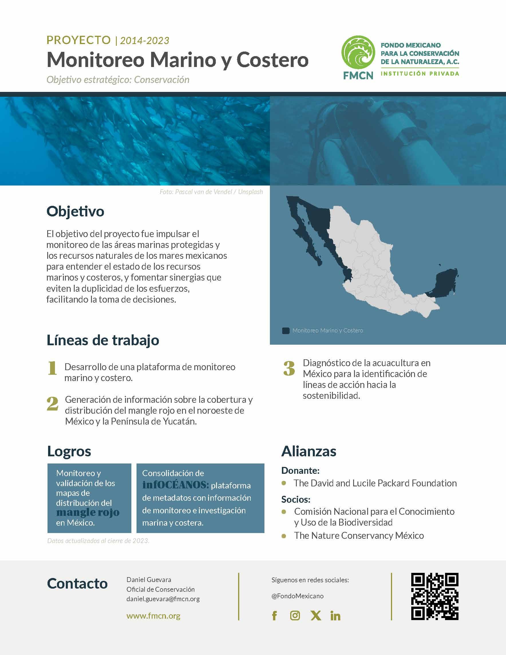
The project's objective was to promote monitoring of marine protected areas (MPAs) and the natural resources of Mexican seas, to understand the state of marine and coastal resources, and to encourage synergies that avoid duplication of efforts, facilitating decision-making.
Context
In 2014, Mexican Fund for the Conservation of Nature (FMCN) developed, with resources from The Walton Family Foundation and The David and Lucile Packard Foundation, the Monitoreo Noroeste platform, a public portal containing metadata from monitoring databases in the Gulf of California and the North Pacific. In 2020, again, with the support of The David and Lucile Packard Foundation and its resources, the expansion of the platform formerly known as Monitoreo Noroeste to the Yucatan Peninsula began within the Infocéanos project. The metadata from the marine-coastal monitoring and research databases are integrated into the Marine-Coastal Information and Analysis System (SIMAR), developed by the National Commission for the Knowledge and Use of Biodiversity (Conabio, acronym in Spanish).
In parallel, FMCN collaborated with Conabio to monitor the red mangrove (Rhizophora mangle). Between 2016 and 2017, the distribution and growth rates of red mangrove in five sites in northwestern Mexico were delineated using remote sensing techniques with support from The David and Lucile Packard Foundation. As of 2020 and until 2023, with the closure of the project, FMCN and Conabio worked to extrapolate the remote sensing methodology for R. mangle in the Yucatan Peninsula.
The lines of work that guided the actions of the Marine-Coastal Monitoring project were:
- Development of a marine and coastal monitoring platform.
- Generation of information on the coverage and distribution of red mangrove in northwestern Mexico and the Yucatan Peninsula.
- Diagnosis of aquaculture in Mexico for the identification of lines of action towards sustainability.
FMCN collaborated with Conabio to monitor the distribution and growth rates of red mangrove in northwestern Mexico and the Yucatan Peninsula.
Achievements
The project achieved a multi-year collaboration with CONABIO in developing tools that allow marine coastal monitoring and research in Mexico. Using remote sensing technologies, the distribution of the red mangrove was identified, and the infOCÉANOS metadata platform was consolidated with marine and coastal monitoring and research information, contributing to the generation of synergies to avoid duplication of efforts. It allowed researchers to find information gaps and niches of opportunity to develop new research aimed at understanding and managing Mexico's marine and coastal wealth.
Additionally, the project achieved the publication of the digital document "Diagnosis of Aquaculture in Mexico," which contains a review and analysis of the current state of national aquaculture and the challenges that this activity will face in the future. Coordinated by Biologist Leonardo Vázquez, this document obtained second place in the 2020-2022 Sustainable Fisheries and Aquaculture Award in the Fisheries or Aquaculture Research category.
Allies
Donor: The David and Lucile Packard Foundation
Partners:
- National Commission for the Knowledge and Use of Biodiversity (Conabio, acronym in Spanish)
- The Nature Conservancy Mexico