Biodiversity
Red Mangrove Distribution in Northwestern Mexico and the Yucatan Peninsula
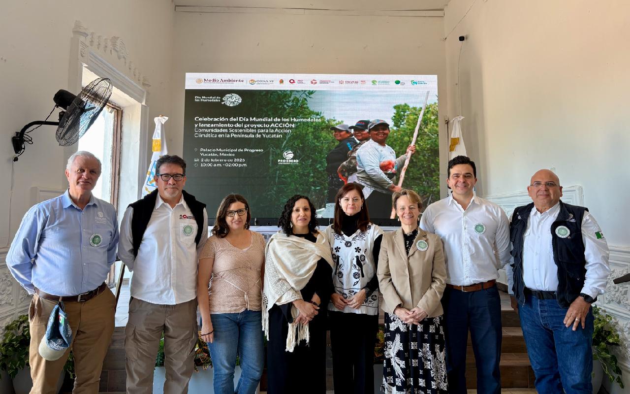
Since 2016, a multi-year collaboration has been achieved with the Comisión Nacional para el Conocimiento y Uso de la Biodiversidad (Conabio) to generate inputs that favor the conservation of the mangrove areas, specifically of the red mangrove species (Rhizophora mangle), due to its ecological importance as nesting and reproduction sites for species of interest to fisheries. The project activities are part of Mexico’s Mangrove Monitoring System, and the results are available in an interactive PDF recently published by Conabio.
During Phase 1 of the project and with the help of remote sensing tools, the distribution and growth rates of red mangrove were delineated in five sites in northwestern Mexico (Magdalena Bay in BCS, Estero Lobos in Sonora, Punta Colorada and Playa Colorada in Sinaloa and Marismas Nacionales in Nayarit). This development was characterized throughout a growing season to understand some of its differences concerning other species. Based on the experience gained during Phase 2, the first red mangrove distribution map for the entire North Pacific region was developed using a 2015-2020 temporal composite, and the method was tested at a pilot site in the Yucatan Peninsula.
As a result, a map was published that identifies areas of mangrove degradation and colonization, as well as establishing the variations in the territory of phenological variables such as the length of the growing season. The results allow establishing a baseline to investigate the effects of climatic variations on the conservation or decline of red mangrove and other species in the region.
For more information, we invite you to consult the interactive PDF available at the following link: Rhizophora mangle (Red Mangrove) species distribution in the North Pacific region and a pilot site in the Yucatan Peninsula, in the framework of Mexico's Mangrove Monitoring System.